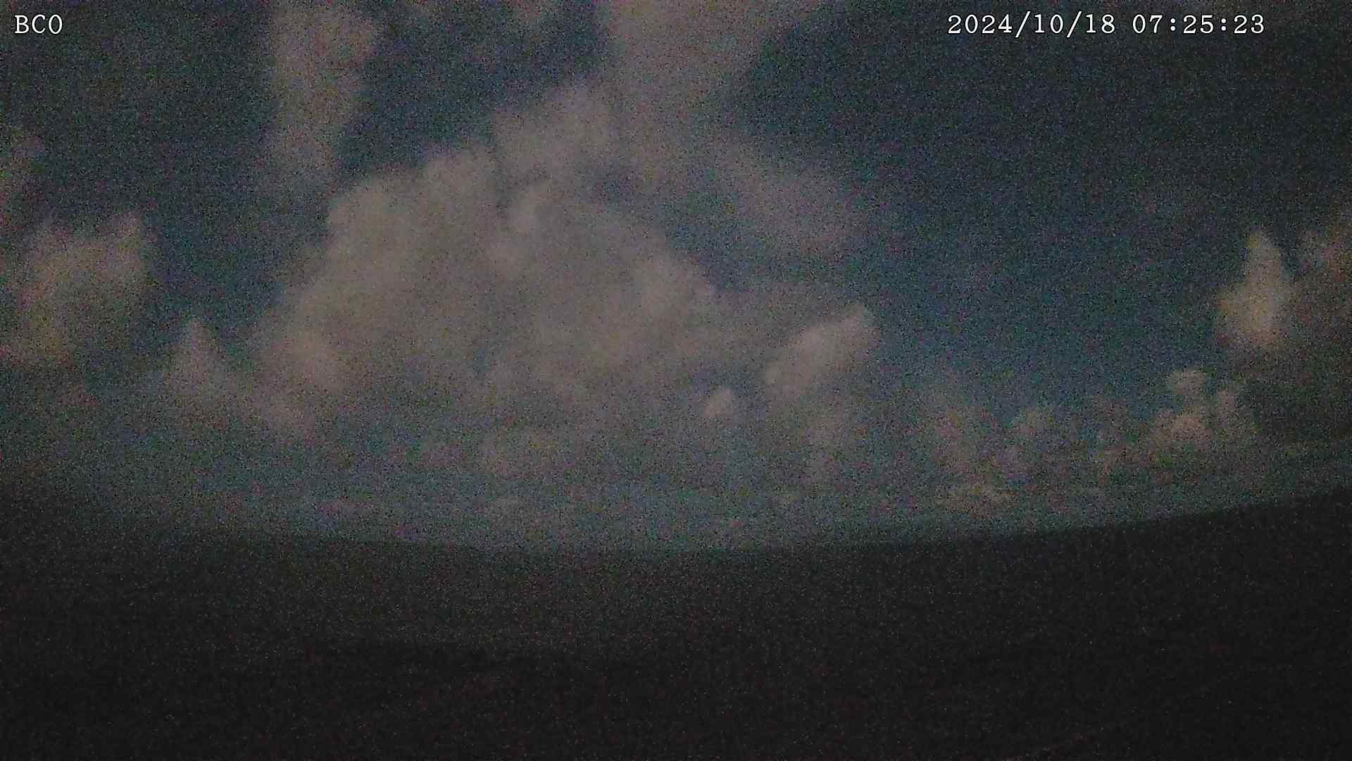
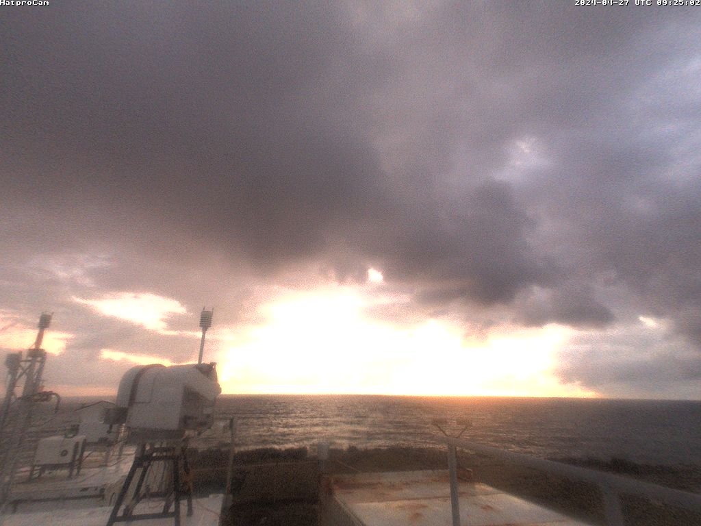
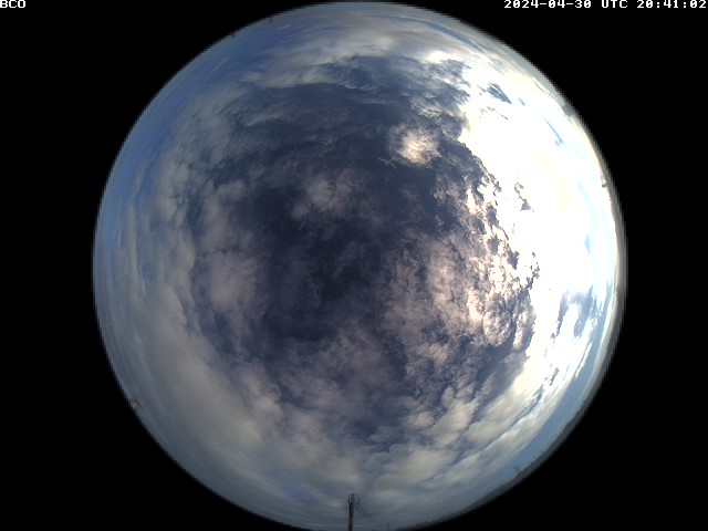
After a few days of adjustment, here is our first post from Deebles Point! We are here with four people, Ilya, Clara, Katrin and myself. Yesterday, November 11th, was a beautiful cumulus day on the site. The clouds were shallow but well developed, coming in random patches (see GOES image).
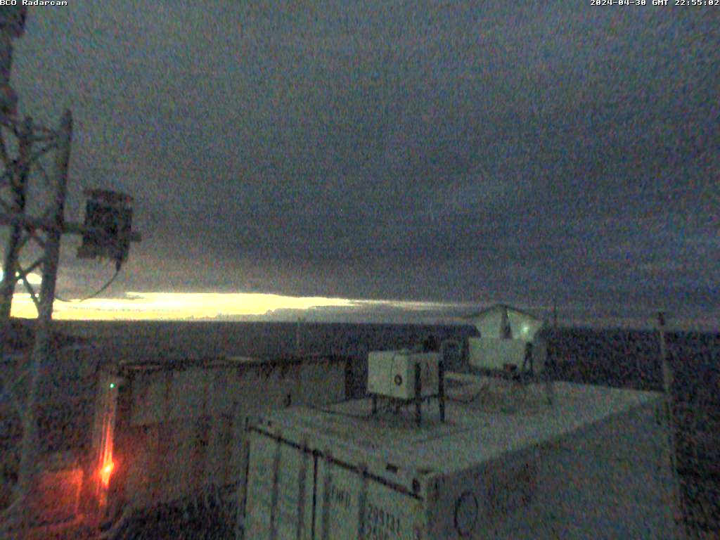
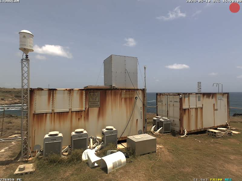
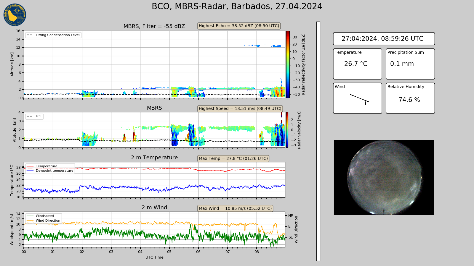
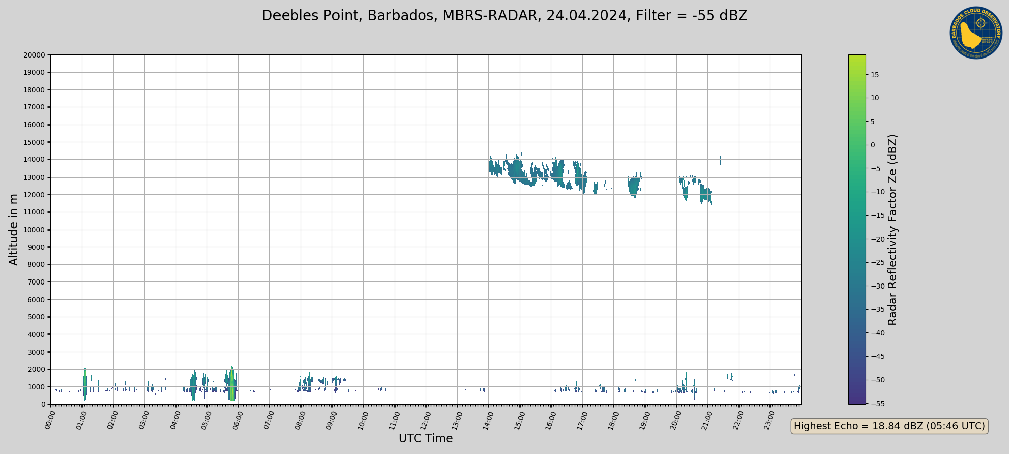
The radar has been scanning with its ‘usual’ routine and the quick-looks seem good (there does seem to be more clutter / false returns compared to what I have seen before, something we should check). It makes a 180 degree scan upstream of the site, at an elevation angle of 45 and 60 degrees, then scanning vertical for 5 minutes. Early in the morning there were some heavy rain showers that woke us up.
At a 60 degree elevation angle the radar measures above cloud tops even at close ranges, so scanning at low elevation angles, even lower than 45 degree, will be great. The Hamburg cloud radar, that was picked up in Hamburg Thursday (thanks to Lutz for sending me the picture) along with the DIAL water vapor lidar, will allow for scanning at much lower elevation angles. It is scheduled to arrive here early December.
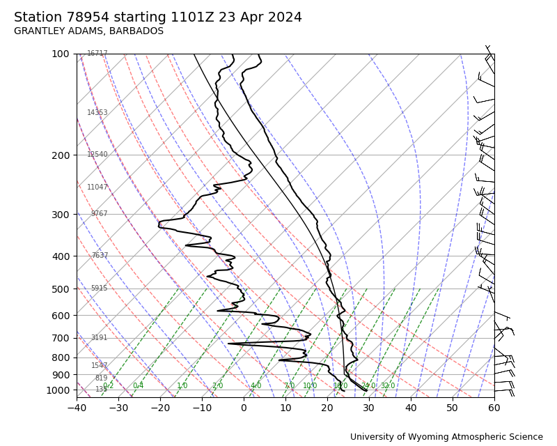
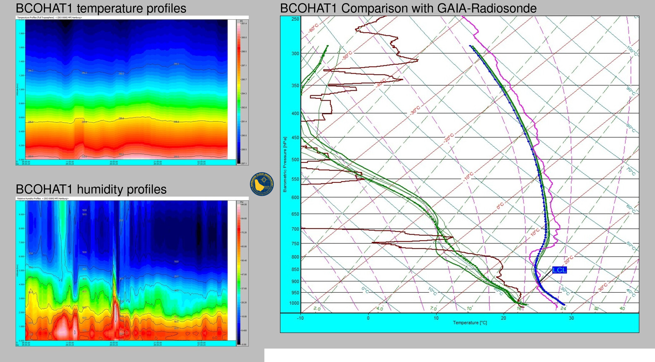
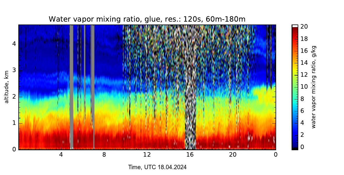
In the evening we successfully launched our second balloon, using the mobile radiosonde facility that Prof. Jenkins from Howard University has kindly borrowed us. Adriel Valentine, a student at CIMH, and Marvin have helped us launching these. From these profiles (including temperature, humidity, wind speed and direction), Ilya is using the water vapor profile to compare with the water vapor derived from the Raman lidar. Because the lidar is measuring very close to see, whereas the soundings are carried inland (and may travel far), some differences in the water vapor remain. These are mostly confined to heights below 1 km, at higher altitudes the data compares really well. We are trying to find out whether these are realistic differences, or whether the initialization of the radiosonde can use some improvement. Because winds turned from easterly to westerly, the sonde from last evening was actually carried back towards the site at high altitudes (see the sonde track from Google Earth).
Images and sounding profiles will follow soon!




One Response to Beautiful cumuli and our first successful launches